

Available Data
The hub contains metadata details of our data available through SNOWFLAKE. The structure of data provided by our distributors may differ, please refer to the metadata provided by them. Our data is categorised by type and use. Please refer to the module for the full metadata for all tables and views available.
All data available as the most-recent version, or with history keyed by production date.

GeoSegments
A) single characteristic across attitudes, family composition, health, income, and property
B) a combined geo-demographic model combining family composition, attitudes and income
GeoSegments_Postcode: A lookup table keyed by postcode
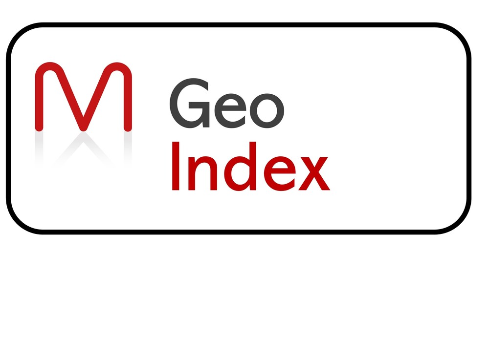
GeoIndex
A postcode snapshot of our Money, Health and Society data: 3 income, 3 wealth, 1 debt, 2 lifeststyle, 1 mortality, 1 morbidity and 4 attitudinal indices
GeoIndex_Postcode: A lookup table keyed by postcode

Vulnerable Households
A) scores for income, education, health, mortgage and rent vulnerability
B) seven level descriptive segmentation
VulnerableHouseholdsPostcode: A lookup table keyed by postcode
GeoMoney
For gross earnings, gross income, net income and expenditure, including distribution down to £5k bands
GeoMoneyPostcodeSex_AgeBand: A lookup table keyed by postcode, sex and age band
The flat views, keyed only by postcode, have been split by the different income and expenditure measures
GeoMoneyGrossEarnings_Flat, plus GeoMoneyGrossIncome_Flat, plus GeoMoneyPostTaxIncomeFlat, plus GeoMoneyExpenditureFlat
For pensioner income, mortgages and IMD, plus its 7 components of deprivation, ranked at Output Area level across the UK
GeoMoney_Postcode: A table keyed by postcode


GeoHealth
For standardised mortality ratios, self-reported health and disability and propensity to smoke or be obese by sex and age band
GeoHealthPostcodeSex_AgeBand: A lookup table keyed by postcode, sex and age band
GeoHealthPostcodeSexAgeBandFlat: keyed only by postcode
For life expectancy and biological age by sex and each age 18 to 80
GeoHealthPostcodeSex_Age: A lookup table keyed by postcode, sex and age
GeoSociety
Attitudinal insights at postcode level, with propensity to give to charity and 18 indices and spectrums across green, cultural, internationalism, political and other issues
GeoSociety_Postcode: A lookup table keyed by postcode
For topical issues captured for a limited period
GeoSocietyTopicalPostcode: A table keyed by postcode and index


GeoPredictors
Our most powerful set of modelling data. Over 500 predictors at output area and over 60 at postcode. Age standardised or age/sex differentiated for greater effectiveness
GeoPredictorsOA11Postcode: A lookup table keyed by postcode
GeoPredictorsOA21Postcode: A lookup table keyed by postcode
GeoPredictors_Postcode: A lookup table keyed by postcode